
Walk a Weirton Street Record
A sound by-address search separates ownership from residence. Start with the full street address, including any unit, and do not assume ZIP 26062 identifies the county. Weirton spans Brooke and Hancock counties. The assessor or statewide parcel map can identify the county, parcel identification number, physical address, listed owner, mailing address, and a deed book and page. Those details form the bridge to the county clerk's recorded instrument. Voter and directory evidence may associate a person with an address at a stated time, but neither turns an owner name into a complete household list.
- Enter the exact address in the WV Property Viewer or the appropriate county assessor search.
- Record the county, PID, district, map and parcel, physical address, mailing address, owner, and deed book/page.
- Open nearby parcels one at a time to move along the street without treating the map as a resident roster.
- For a Hancock parcel, search the county land-record index by the named party and recorded deed reference. Contact the custodian for the instrument image or a certified copy.
- Use dated permits, voter records, and historical directories only for the specific role and date each source supports.
This sequence keeps every claim tied to its source date. It also prevents a common error: a mailing address may belong to an owner, trust, estate, or company located somewhere else.
Route Weirton Streets by County
The two-county split is the key Weirton street directory quirk. Brooke County's seat is Wellsburg, while Hancock County's seat is New Cumberland. A postal city name, neighborhood label, or ZIP cannot safely choose between them. Run the parcel first, then send the deed, court, voter, or archival question to the county shown by that parcel record.
Hancock County provides an assessor portal and a compiled land-record search. Brooke County provides an assessor portal with the same core address and parcel fields, but the research did not locate a current official Brooke clerk portal or complete contact block. For a Brooke parcel, preserve the deed book/page from the assessor and use the courthouse route rather than guessing that Hancock holds the record. The West Virginia Archives also identifies older Brooke deed indexes from 1797 through 1948 and deeds from 1797 through 1901, though an archival listing does not mean every page is online.
Two-county check. ZIP 26062 is postal evidence, not proof that a Weirton parcel belongs to Brooke or Hancock County.
Search Weirton Assessor Fields
The Hancock County Assessor search and Brooke County Assessor search share a useful field model. Search by the detail already known, then retain the returned identifiers. A parcel means a mapped unit of land for assessment. The situs address is the physical location; it can differ from the address where the tax notice is mailed.
| Search field | Best use | What to preserve |
|---|---|---|
| Owner name | Find parcels tied to a named owner or entity | Exact display name and county |
| Parcel address | Start a by-street search | Physical and mailing addresses separately |
| Account number | Return to a known assessment account | Full account value |
| District, map, parcel | Narrow the land unit | Each component and PID |
| Property type or legal description | Resolve an unusual parcel | Wording as printed |
| Deed book/page | Move from assessment to recorded deed | Both reference numbers |
The portals warn that online assessment data do not carry a complete accuracy warranty. Confirm disputed ownership or legal-description language from the recorded instrument.
Map Weirton Parcels by Street
The statewide Property Viewer adds map context that a list result cannot. Its controls accept county, owner, street address, parcel number, district/map/parcel components, geometry or buffer, and latitude/longitude. A detail can connect to assessment information, flood data, map tools, and deed references. Browse adjacent shapes to see how lots line a street, then open each parcel detail on its own.
The WV Property Viewer search screen shows those controls:
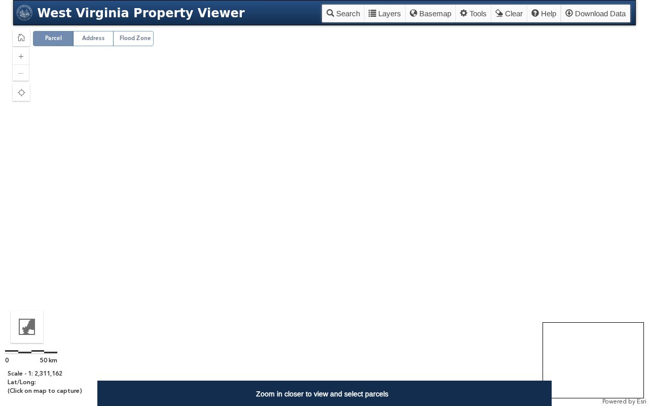
Map lines are expressly not legal boundaries. A buffer result is a geographic lead, not proof of legal adjacency, common ownership, or a social relationship between people.
Weirton Records Indexed by Address
A Weirton street directory becomes stronger when independent sources agree. Each source records a different role, so note its keeper, date, and limit instead of merging names into a single claim.
| Address source | Record keeper | What it can show | Access route |
|---|---|---|---|
| Assessment roll | Brooke or Hancock assessor | Listed owner, parcel, mailing address, deed reference | Free county portal |
| Parcel map | WV Property Viewer | Physical address, parcel context, assessment links | Free statewide viewer |
| Recorded instruments | County clerk | Grantor, grantee, deed, lien, plat, legal description | Index, clerk research request, copies |
| Building permit | City of Weirton | Work address, tax map, parcel, named owner or contractor | Department request or WV FOIA |
| Voting geography | State, county, and City Clerk | Registration status for the voter; ward and polling context | Personal lookup or lawful office inspection |
| Historical directory | Local genealogy and library sources | A printed person-address link in a stated edition | Confirm volume and access with custodian |
An index points to a record; it is not the same as the image or a certified copy. When the exact deed language matters, request the public instrument from the clerk.
Follow a Weirton Deed Reference
On the Hancock side, the compiled land-record form supports from/thru dates, record category, party role, description, book, and party name. Categories observed in the research include deeds, liens, estates, UCC, miscellaneous records, marriage, birth, and death. For a deed trail, search the current owner's exact display name as both grantee, the person receiving an interest, and grantor, the person conveying it. Preserve the book/page before opening another result.
- Parcel
- An assessment and mapping unit, not a promise about who occupies it.
- Situs address
- The physical property address, distinct from the owner's mailing address.
- Plat
- A recorded drawing that depicts lots or subdivisions; the clerk record controls over a web map.
- Criss-cross directory
- A directory arranged by street and house number rather than only by surname.
The Hancock County Clerk accepts research and copy requests at 102 North Court Street in New Cumberland. Published hours are Monday through Friday, 7:30 a.m. to 4:30 p.m. The office lists deed copies at $1.50 for the first two pages and $1.00 for each added page per document. Current online coverage dates were not located, so an empty portal result should lead to the clerk, not a claim that no deed exists.
Match Weirton Permits to Streets
City building files provide a municipal address layer. Weirton's replacement permit form collects the work location, street address, tax map and parcel, owner contact details, contractor and license data, subcontractors, project description, use type, certifications, and signature date. That makes the permit a dated link between a parcel and a project. It does not prove the owner or contractor lived there.
The Building Inspections office says covered construction, repair, remodeling, moving, or equipment work requires a permit before work starts. A permit can become void if work does not start within 60 days, stops for 90 days, or reaches one year unless another term applies. No public historical permit index was located. Ask for a defined address and date range through the department or a specific West Virginia Freedom of Information Act request.
The City Clerk is the custodian of permanent municipal records, council proceedings, code, and board or commission files. The City archive center accepts keyword, category, time-period, and date-range searches across budgets, annual and financial statements, water-quality reports, recycling lists, and other retained documents. The separate agenda center sorts City Council, Planning Commission, Sanitary Board, Traffic Commission, Utilities, Water Board, Transit Corporation, and Zoning Appeals records by category and year. A street name in a planning agenda or council packet can identify a public hearing, infrastructure job, zoning matter, or dated city action. It still does not identify every person at that street.
When the archive filters do not surface the needed file, send a narrow request to the office that keeps it. Under the West Virginia Freedom of Information Act, W.Va. Code §29B-1-3, identify the record type, exact Weirton address, and date range, and ask for an electronic copy when available. The custodian must respond as soon as practicable and no later than five days excluding weekends and legal holidays by providing the record, setting an inspection time and place, or denying the request in writing. That is a response deadline, not a promise that a complex search will be finished within five days. Charges are limited to actual reproduction cost under the statute.
Place Weirton Streets in Context
Street names sit inside several overlapping geographies. The city publishes a ward map effective January 1, 2025 and ward-specific street and precinct material. Hancock polling locations include public sites along Wylie Ridge, Kings Creek, Pennsylvania Avenue, Main Street, and Penco Road. These sources can place an address within election geography on a stated date, but a polling site does not list every nearby resident.
The 2018 comprehensive plan names about 20 neighborhood areas and reports 10,329 acres, with 40.32 percent listed as undeveloped in its dated land-use table. Names such as Weircrest, Marland Heights, Half Moon, and Pennsylvania Avenue can serve as search aliases. They are planning or local labels, not automatic legal boundaries. The 1947 incorporation joined Hollidays Cove, Weirton Heights, and Marland Heights, and later growth reached areas including Vermont Terrace, Woodland Estates, Sun Valley, and Chateau Village. Older records may therefore use a prior community name.
The Sanitary Board history adds an address-based timeline. It dates the wastewater board to 1956, plant construction and operation to 1958 and 1959, and secondary treatment to 1977. Those milestones can help place a street within a period of municipal growth, but service history cannot date a family's arrival. Use it as context beside a deed, directory entry, permit, or newspaper item. The Census Bureau's 2024 Boundary and Annexation Survey map serves a different purpose: it shows the incorporated place crossing Brooke and Hancock County lines. Neither planning names nor service areas replace the parcel's county result.
Keep a Weirton Street Worksheet
Save the exact spelling, house number, directional, street type, unit, county, PID, district/map/parcel, deed book/page, source URL, retrieval date, and whether the source was an index or an image. Preserve physical and mailing addresses in separate fields. This small log prevents a later search from blending two lots, two counties, or two people with similar names.
For an older street, also record the place name printed in the source. Search Hollidays Cove, Weirton Heights, Marland Heights, and Weirton when the date warrants it. No official street-renumbering table was located, so do not force an old house number onto a modern parcel. The Mary H. Weir Library, local museum, newspapers, deeds, maps, and city planning records offer the best fallback chain. Full historical volume work belongs with the Weirton city directory collections.
Limits of Weirton Street Records
A street directory cannot supply a verified list of every occupant. Assessment records concern ownership and tax mailing. A deed identifies parties to a recorded transaction. A voter result concerns one registered voter and is not a household roster. Permit records name roles in a project. Business-agent addresses, trusts, estates, and corporate owners require the same care. No public Weirton utility-customer list or complete municipal resident index was located.
West Virginia voter files exclude phone numbers, email addresses, Social Security numbers, driver's-license numbers, and nonoperator ID numbers. The state's Address Confidentiality Program gives eligible survivors a substitute mailing address and mail forwarding. Never try to defeat that protection. Public parcel lines, meanwhile, remain approximate map aids rather than surveyed legal boundaries.
Lawful use. Use Weirton address records only for lawful personal research, and never to stalk, harass, threaten, or expose protected information.