
Sources Around Weirton Neighbors
A block lookup is a geographic task. The safest method starts with a parcel, checks nearby parcel IDs, and opens each public record separately. It does not turn a map into a list of people. Weirton also crosses Brooke and Hancock counties, so the address must be routed to the correct assessor before two records can be compared.
| Source | What It Shows About a Block | Access |
|---|---|---|
| WV Property Viewer | Nearby parcels, IDs, E-911 addresses, assessment links | Free statewide map; inspect one parcel at a time |
| Brooke and Hancock assessors | Owner and mailing-address leads for each parcel | Free county portals; county must match the address |
| Weirton ward map | Street, ward, and precinct context | City map effective January 1, 2025 |
| Comprehensive Plan | Named planning and neighborhood areas | 2018 planning snapshot, not private boundaries |
| Agenda Center | Public hearings and projects affecting streets | Search city board and commission records |
An assessor owner may be a person, estate, trust, church, company, or public body. The mailing address can differ from the physical address. Neither field proves occupancy. A useful note says exactly what the record shows, such as “owner on assessment,” and avoids changing that role to “resident” without another source.
Route Weirton Neighbor Records
ZIP 26062 cannot choose the county. Enter the full street address in the West Virginia Property Viewer and save the county and parcel ID. Then open the Hancock Assessor or Brooke Assessor. Both portals accept owner, parcel address, account, district, map and parcel, legal description, and deed book/page fields.
Use the same source and retrieval date for each nearby parcel. This makes the comparison fair and prevents an older record on one side of a street from being mixed with a newer record on the other. If a parcel crosses or touches a line on the screen, remember that the viewer calls those lines low-accuracy display aids, not legal boundaries.
Note: A Weirton mailing address may still route to a Brooke County office, so record the county before contacting a clerk.
Map Weirton Neighbors by Parcel
The property viewer supports street-address, parcel-number, owner, county, geometry or buffer, and coordinate searches. A buffer draws a search area around a point or shape. It can reveal nearby parcels, but it does not prove that parcels share a legal line or that the people tied to them know one another.
- Locate the anchor address in the WV Property Viewer and record its PID, county, E-911 address, and retrieval date.
- Click each visible adjacent parcel separately. Save its PID and displayed address before opening assessment detail.
- Compare owner and mailing fields in the correct county assessor. Keep companies and estates separate from personal names.
- Record deed book/page only as a route to the clerk's instrument. Do not treat it as proof of occupancy.
- For a full road rather than the immediate block, move to the street-level process.
The Weirton street directory covers the longer address chain. A neighbor search should remain focused on the parcels immediately around the anchor.
The official statewide viewer is shown below.
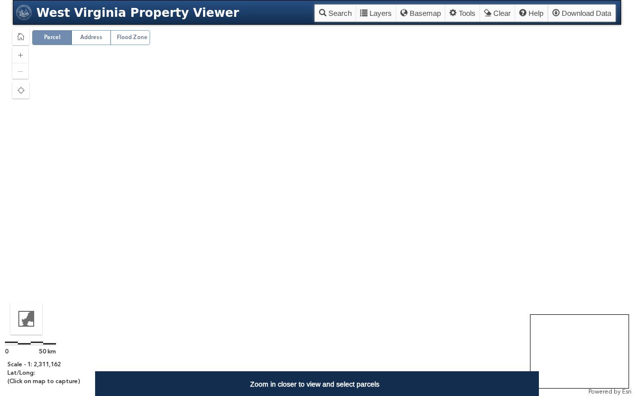
The map provides parcel context, while deeds, plats, and surveys control legal land questions.
Compare Weirton Parcels One by One
A short worksheet prevents map impressions from turning into claims. For each parcel, record the anchor or adjacent PID, visible physical address, county, map and parcel, displayed owner or entity, deed book/page, assessment fields used, retrieval date, and whether a clerk instrument was checked.
- Parcel
- A mapped unit used for land assessment and record reference.
- Situs address
- The physical location shown for the parcel, which may differ from the mailing address.
- Buffer
- A map search area drawn around a point or shape.
- Plat
- A recorded drawing of lots or boundaries that may support legal research.
The inspected Half Moon example shows why roles matter. Its Weirton physical context, corporate owner, separate mailing address, legal description, and deed book/page all appear together. None of those fields proves a household lives on that parcel.
Place Weirton Neighbors in Context
The Weirton Comprehensive Plan names areas such as Weircrest, Weirton Heights North and South, Marland Heights, Half Moon, Three Springs Drive, Pennsylvania Avenue, Colliers Way, Tiff District, and Harmon Creek. These labels are strong local search aliases and help describe where a public project sits.
They are not a complete postal directory or a set of private association boundaries. The plan is a 2018 snapshot. Its land-use table covers 10,329 acres and reports 40.32 percent as undeveloped at that time. Those figures add citywide planning context but say nothing about a specific parcel's current occupants.
Weirton's growth also joined older community names, including Hollidays Cove, Weirton Heights, and Marland Heights, at incorporation in 1947. When an old street record uses one of those names, preserve it as a dated source label rather than forcing it into a modern boundary.
The Sanitary Board history supplies another dated layer. It links city growth to Weircrest, Vermont Terrace, Woodland Estates, Sun Valley, and Chateau Village, and records the board's formation in 1956, plant work in 1958 and 1959, and secondary treatment in 1977. Those milestones can explain why infrastructure files begin to appear for an area at a certain time. They still do not prove who occupied a nearby home.
Use each geography for its stated job. A planning area helps search city documents. A parcel identifies an assessment unit. A ward or precinct organizes elections, while a ZIP code organizes mail delivery. A deed and plat control legal land research. Keeping those layers separate is vital in Weirton because the incorporated city crosses the Brooke and Hancock county line. The same street label can lead to a different clerk, assessor, or election office based on the exact parcel.
Precincts Are Not Neighbor Lists
The Hancock County polling-site page supplies civic geography around Wylie Ridge Road, Kings Creek Road, Pennsylvania Avenue, Main Street, and Penco Road. It lists precinct numbers and public polling locations. The City of Weirton also publishes a ward map effective January 1, 2025.
These sources show where public election services are organized, not who lives on the block. The statewide individual voter tool requires first name, last name, and date of birth. It returns status, party, districts, and polling place for a person checking a record, and it updates nightly. It is not a way to browse nearby homes.
The official polling locations appear below as geographic evidence.
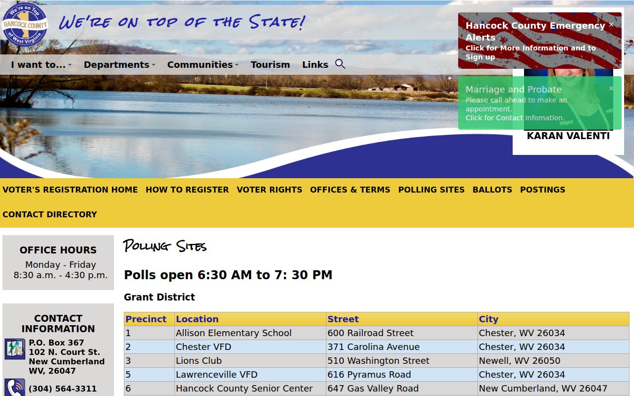
The listed sites are public service points. They do not identify Weirton neighbors or establish parcel adjacency.
Track Weirton Block Decisions
The Weirton Agenda Center organizes council, planning, library, sanitary, water, transit, and zoning materials by category and year. Planning Commission agendas can reveal a hearing or proposed project tied to a street. The commission consists of nine freeholders and residents and reviews requests initiated by property owners or city staff.
A public agenda can establish that a project, parcel, or street issue came before a civic body. It should not be mined into private contact lists. Search by board, date, street, project, or parcel term, then cite the exact agenda or minute file. A dated record is stronger than a general claim about what is happening near an address.
The city's live agenda categories are visible in this official capture.
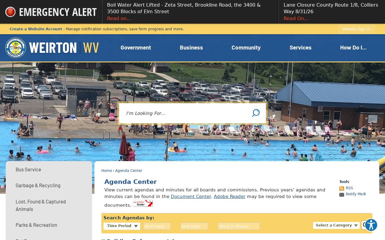
The archive is a civic-record layer, not a directory of residents.
No Weirton Member Directory Found
Research did not locate an official public directory of Weirton neighborhood associations, officers, members, meeting archives, or association maps. That gap should remain explicit. Planning areas, city boards, congregations, polling precincts, and private associations are different things and cannot be substituted for one another.
For a public block issue, use planning agendas, city records, parcel maps, and ward or precinct material. For private association rules or contacts, ask the organization directly if one is known through a lawful source. Do not infer membership from an address, map label, deed, or nearby parcel.
| Official source | Best use | Commercial profile category |
|---|---|---|
| Parcel viewer and assessor | Dated parcel and assessed-owner facts | May merge stale addresses and people |
| City agenda and plan | Public projects and planning labels | May blur civic areas with social ties |
| Custodian record | Source document and correction route | Often lacks a clear source date or correction path |
Protect Weirton Neighbors' Privacy
Parcel maps may show public owner names, but they do not list every household member. Phone numbers, email addresses, Social Security numbers, private delivery data, and utility customer data do not belong in a block worksheet. West Virginia voter law also excludes key personal fields and restricts solicitation, advertising, and resale uses of voter lists.
The West Virginia Address Confidentiality Program provides a substitute post-office-box address and mail forwarding for eligible survivors. If a source displays a protected or substitute address, stop there. Do not reverse-search it or combine other sources to uncover a physical location.
Lawful use. Research Weirton neighbors only for lawful personal or civic reasons. Never use parcel, voter, or planning data to watch, stalk, harass, threaten, or intimidate anyone.
Correct a source record with the office that controls it. Contact the assessor about assessment data, the county clerk about a recorded instrument or voter issue, and the city custodian about municipal files. Keep only the minimum facts needed for the question.